Description
Product Description
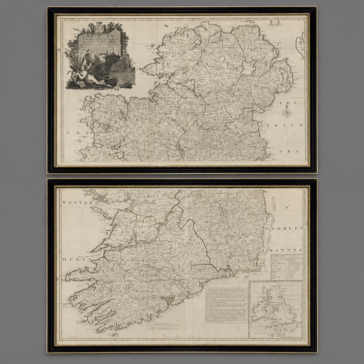
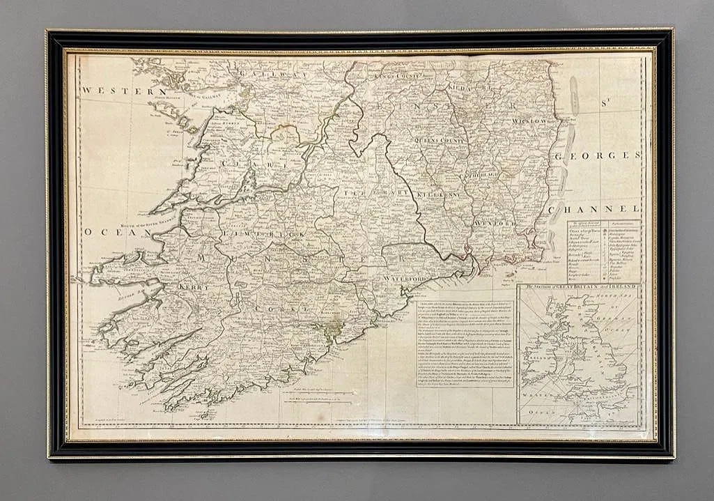
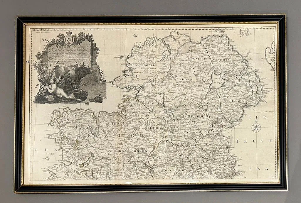
A two-sheet engraved map of Ireland, published May 12th, 1794, by Laurie & Whittle, 53 Fleet Street, London, after the surveys of John Rocque.
Frames 27 x 41.5 inches each
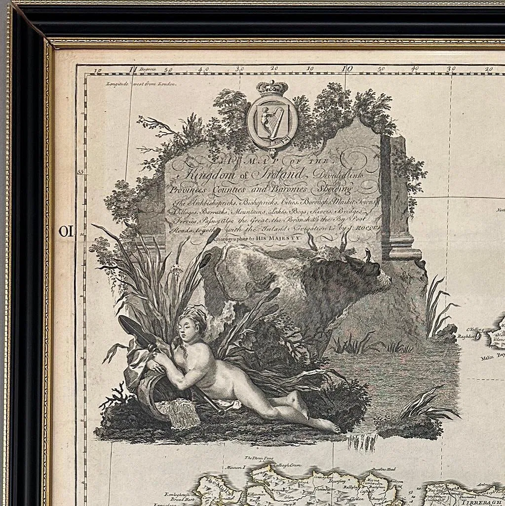
Copperplate engraving on laid paper, the sheets delineating counties, towns, rivers, and coastal detail with an engraved allegorical cartouche to the upper section. Issued as part of Laurie & Whittle’s late 18th-century atlas publications following their acquisition of earlier plates.
Reviews
There are no reviews yet.